North Channel in Pictures
Legend
01 North Channel Maps & Charts
02 Spanish (or Blind River)
03 Whales Back Channel
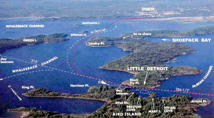
04 Little Detroit
05 Oak Bay/Harbor
06 Fox & Eagle Islands
07 Benjamin Islands (North & South)
08 Croker Island
09 Little Current
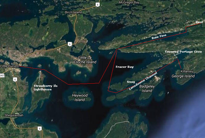
10 Frazer Bay
11 Baie Fine
12 Pool or Mary Ann's Cove
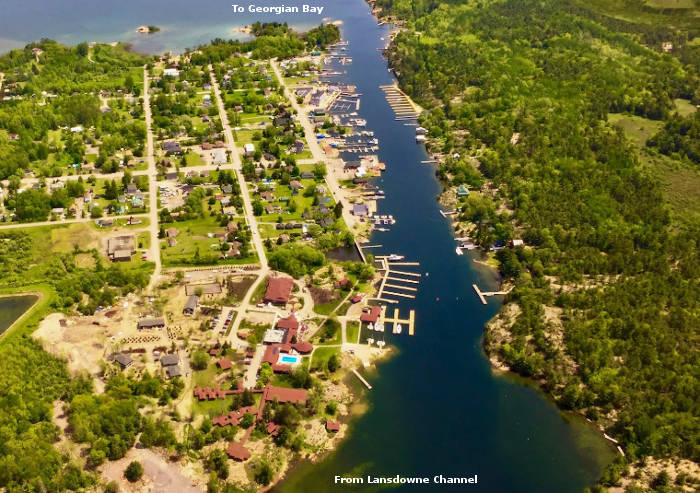
13 Lansdowne Channel
14 Snug Cove/Harbor
15 Covered Portage Cove
16 Killarney
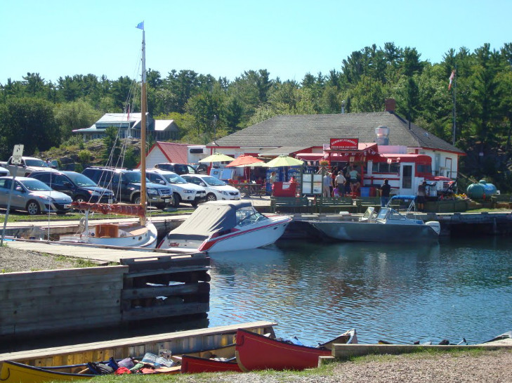
17 Final Goal, Fish & Chips at the 'School Bus'
01 North Channel Maps & Charts
02 Spanish (or Blind River)
03 Whales Back Channel
04 Little Detroit
05 Oak Bay/Harbor
06 Fox & Eagle Islands
07 Benjamin Islands (North & South)
08 Croker Island
09 Little Current
10 Frazer Bay
11 Baie Fine
12 Pool or Mary Ann's Cove
13 Lansdowne Channel
14 Snug Cove/Harbor
15 Covered Portage Cove
16 Killarney
17 Final Goal, Fish & Chips at the 'School Bus'
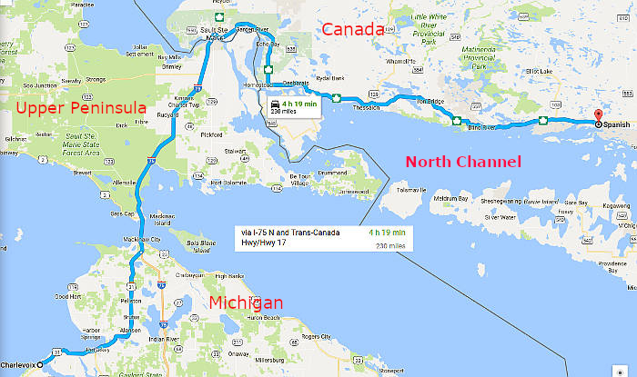
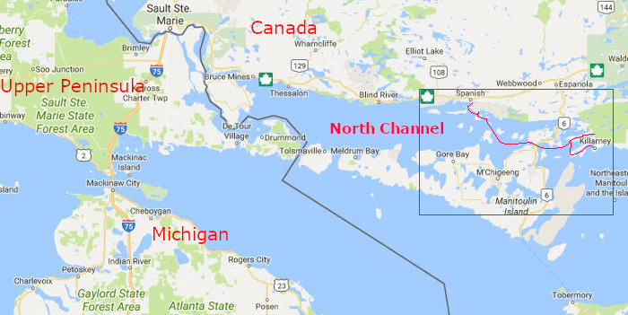
Road trip from Charlevoix to Spanish River, Canada pulling the Shock
Two weeks on the water from Spanish to Killlarney then back again
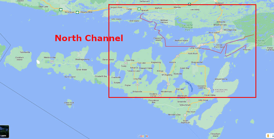
Closer view of Spanish to Killlarney then back again
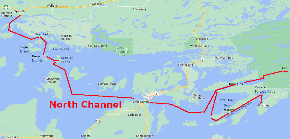
Closer yet from Spanish to Killlarney then back again
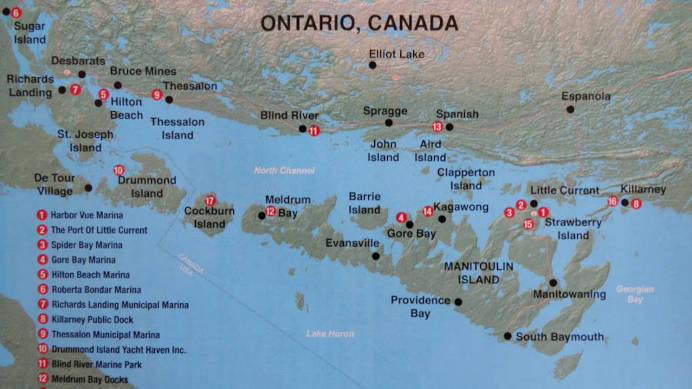
Get your charts
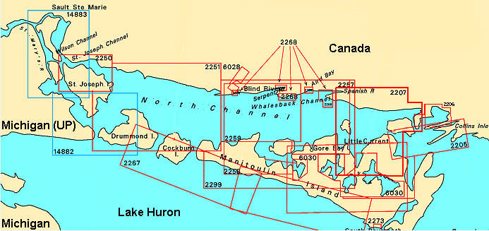
Chart 1 (click to zoom in)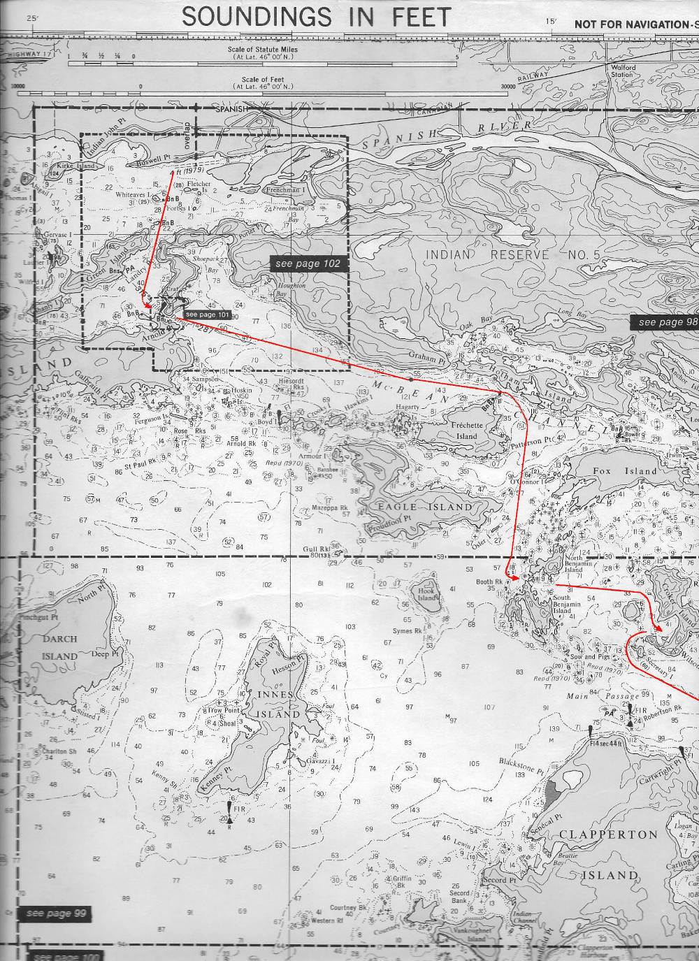 |
Chart 2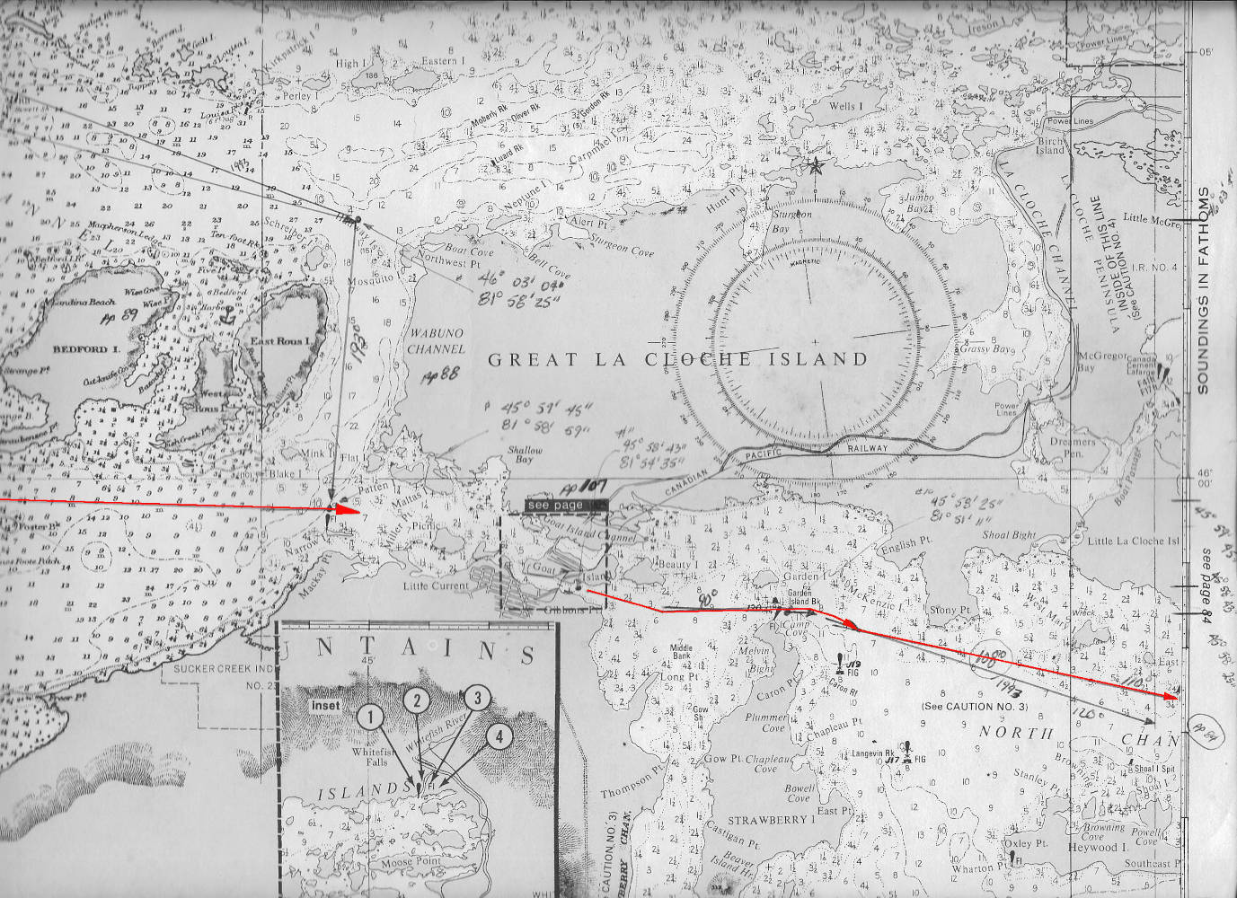 |
Chart 3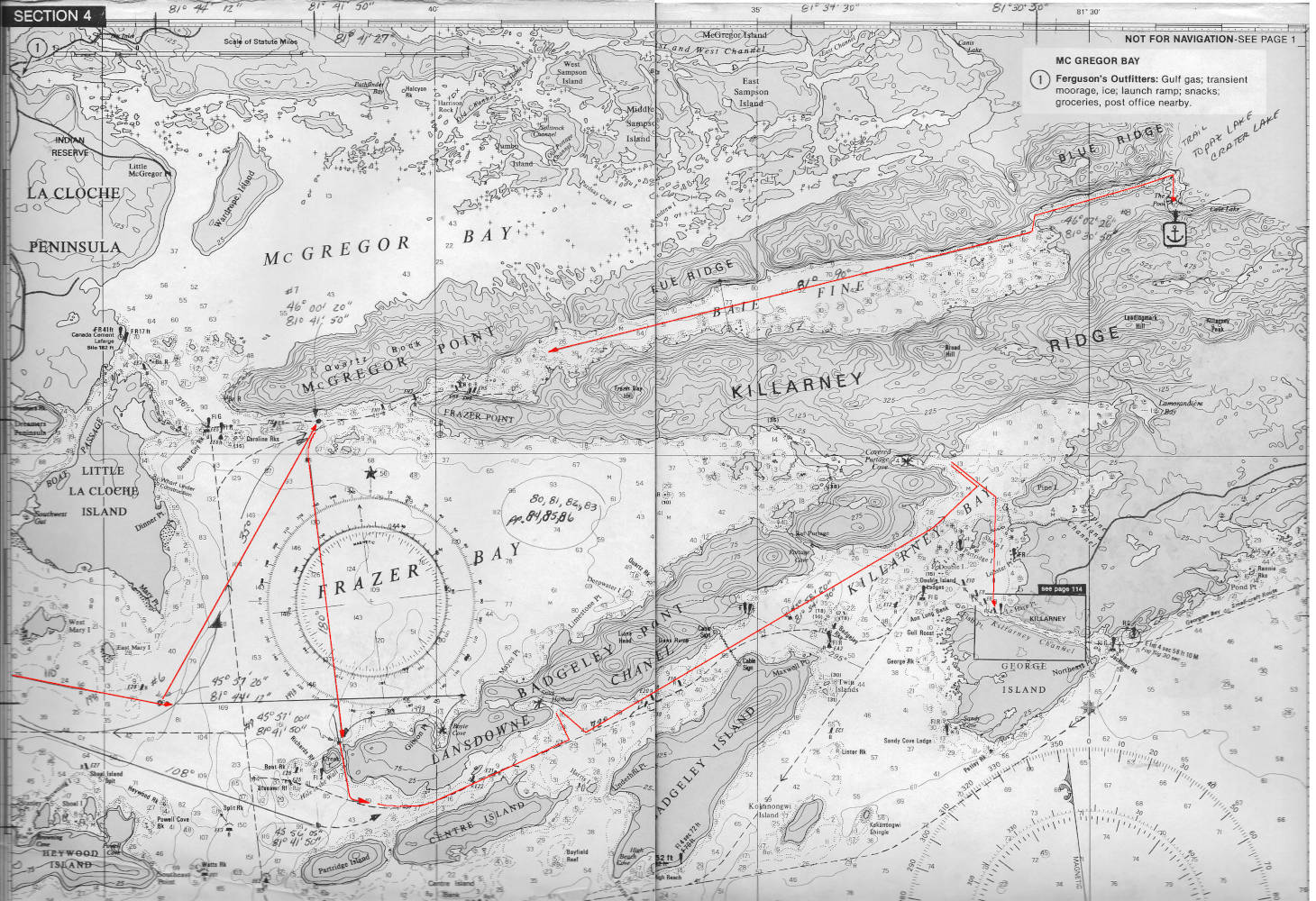 |
Chart 2
Chart 3
Spanish River, Canada
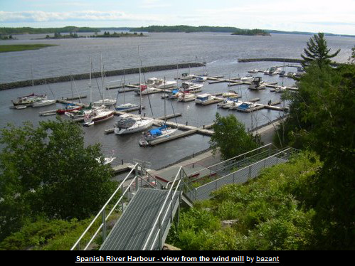
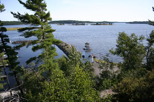
Chart from Spanish, to Whales Back Channel, Little Detroit and then on to Oak Harbor
Whales Back Channel
Oak Harbor
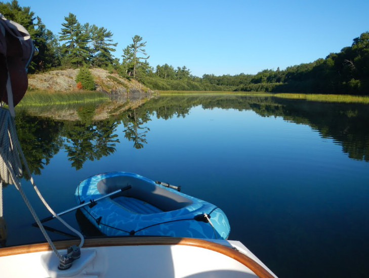
Chart from Oak Harbor down to Benjamin Islands, and across to Croker Island. Then on to Little Current
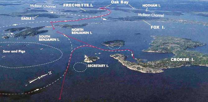
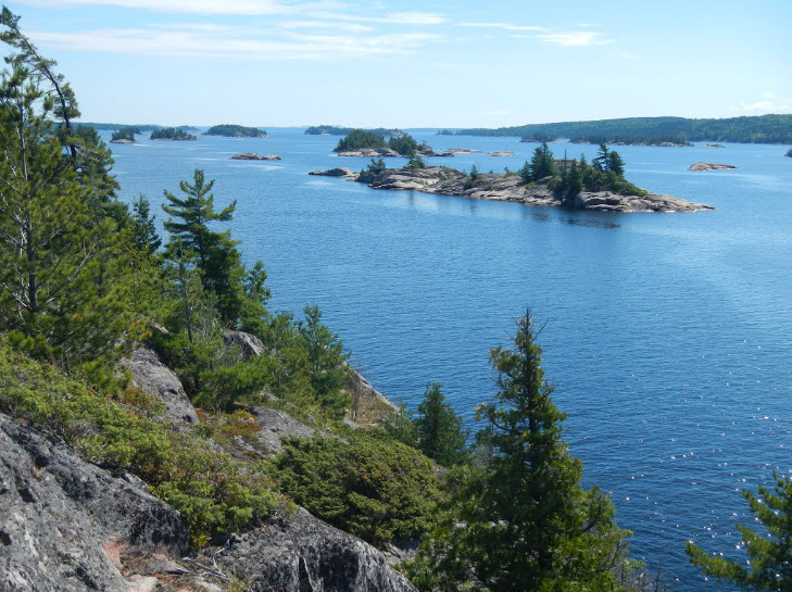
Chart of Fox Islands
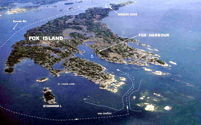
Chart of Eagle Islands
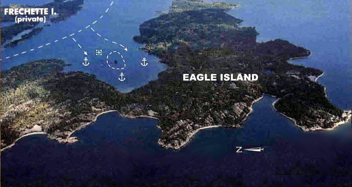
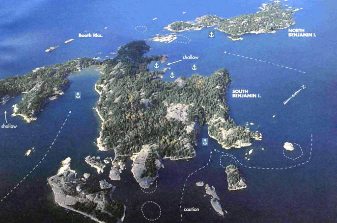
Chart of Benjamin Islands
Benjamin Islands
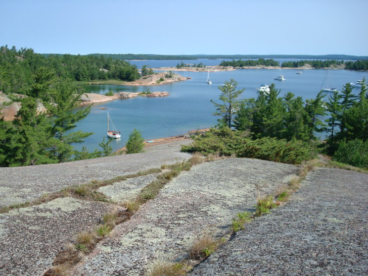
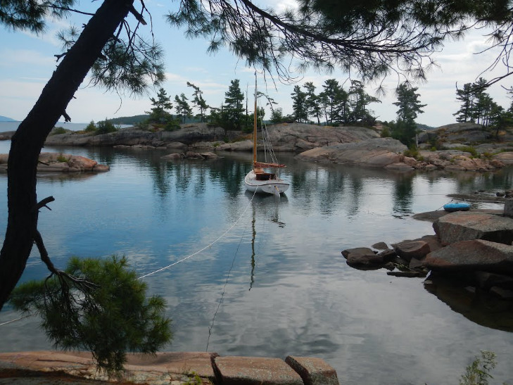
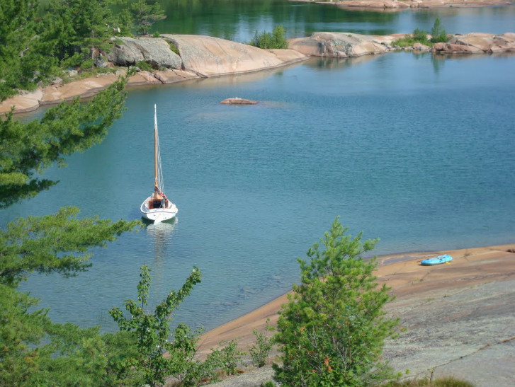
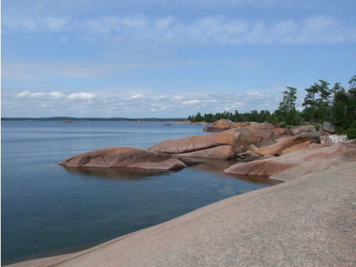
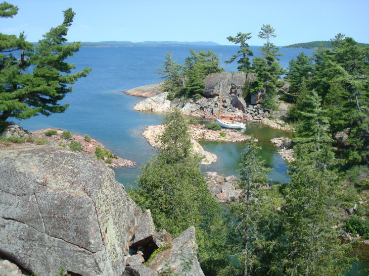
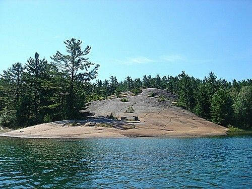
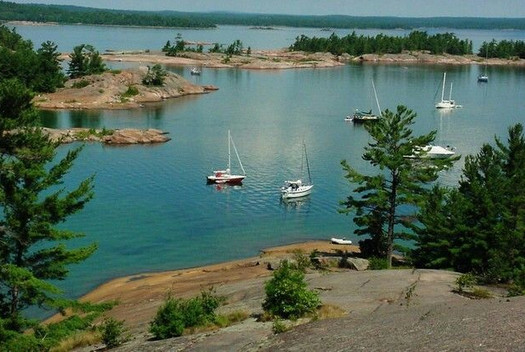
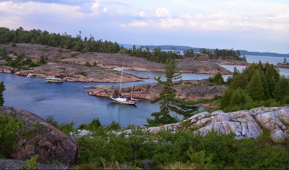
Chart of Crooker Island
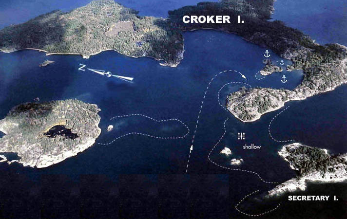
Crooker Island
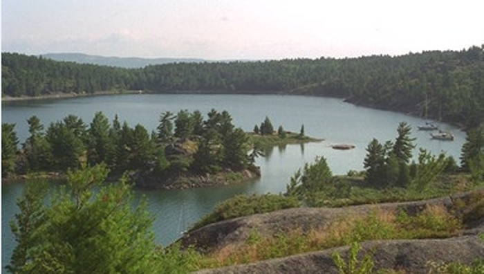
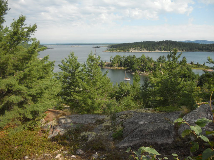
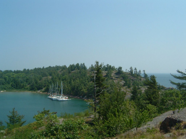
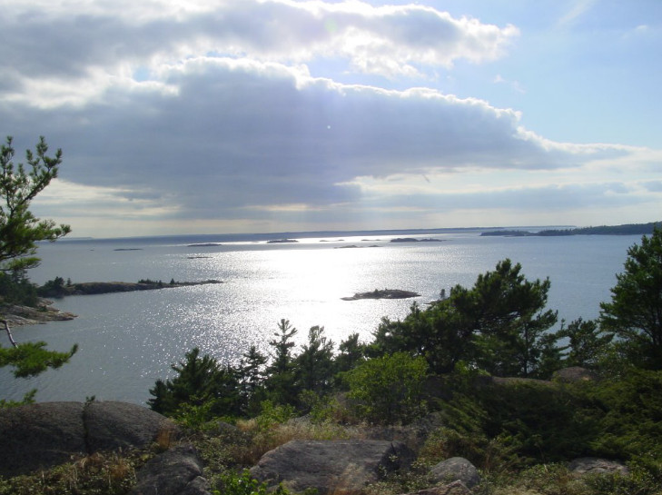
Chart going into Little Current
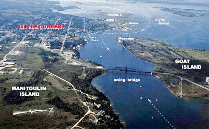
Little Currrent
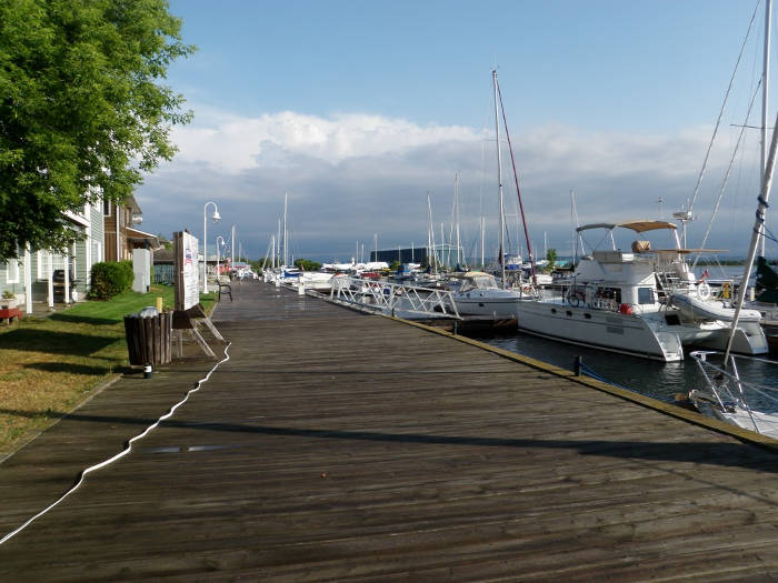
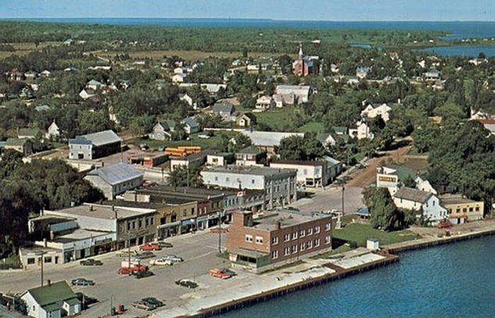
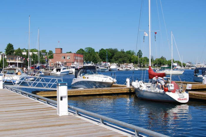
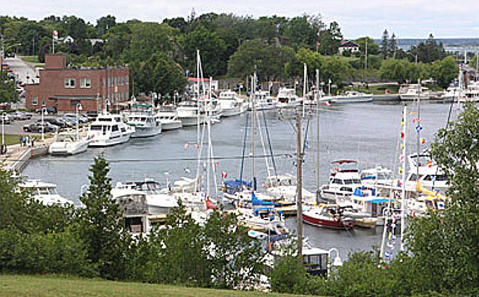
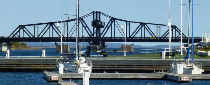
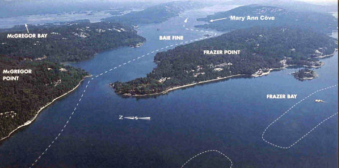
Chart of Frazer Bay, Baie Fine (and the Pool) and Lansdowne Channel (Note: McGregor Bay is further North)
Strawberry Island Lighthouse
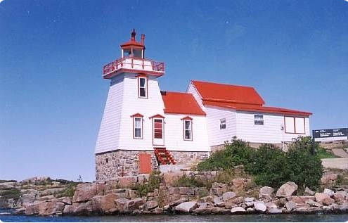
Chart of Baie Fine | Canada's Fjord (two legs)
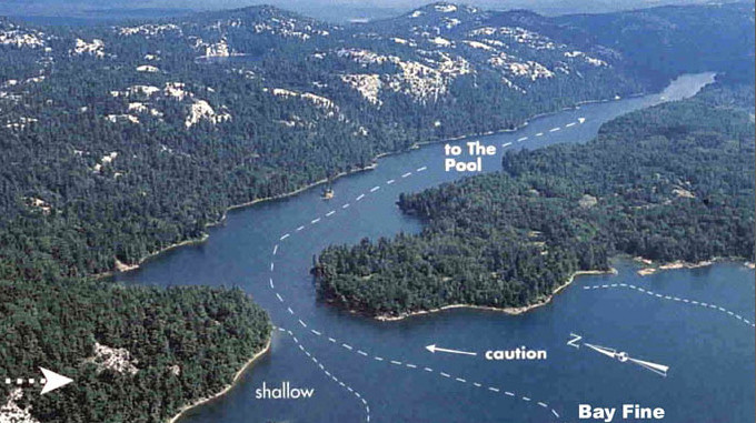
Baie Fine
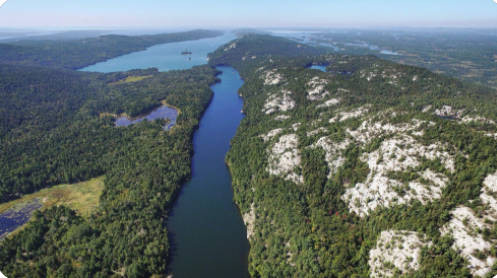
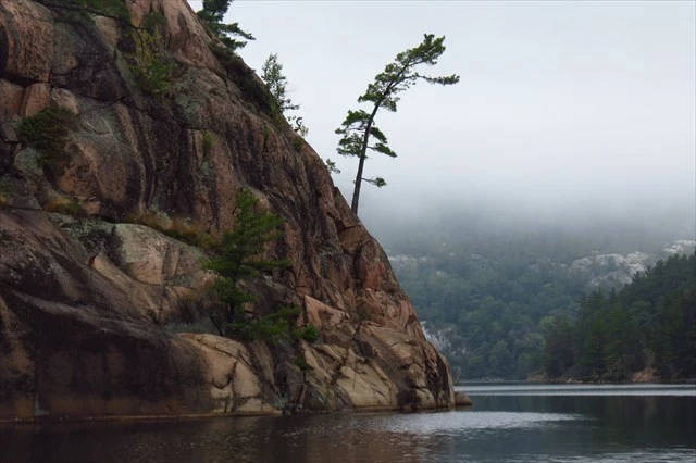
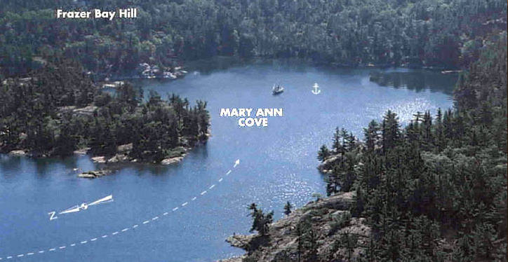
Chart of going from Baie Fine, back across Frazer Bay, through the Hole in the Wall, up Lansdowne Channel
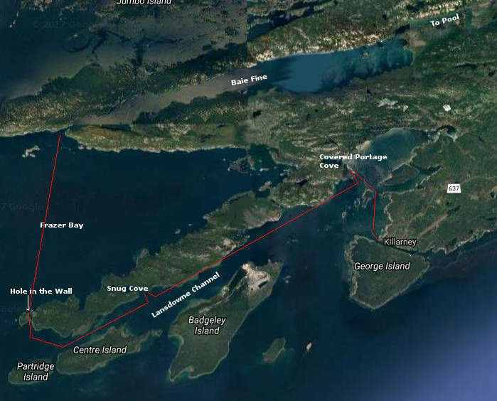
Chart of Snug Harbor
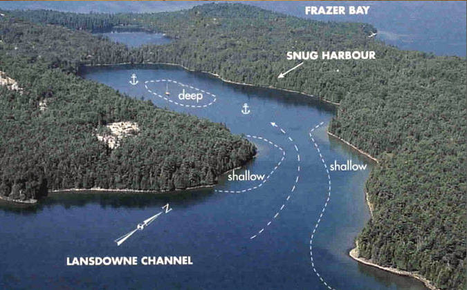
Chart of Covered Portage Cove
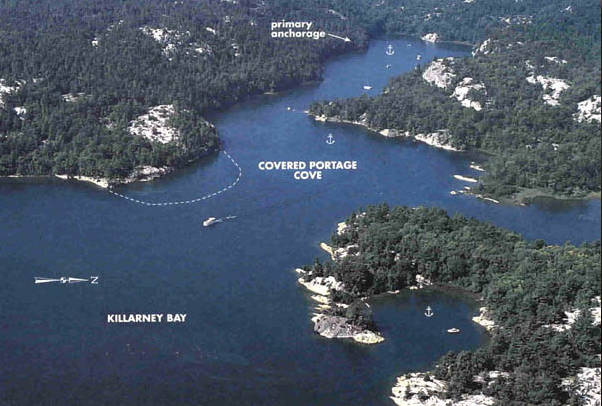
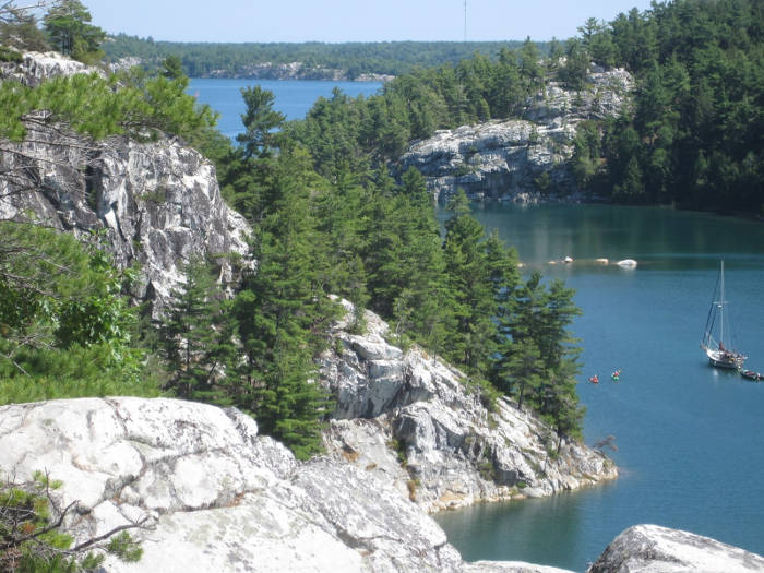
Covered Portage Cove
Killarney
Final Goal, Fish & Chips at the 'School Bus' for Dinner
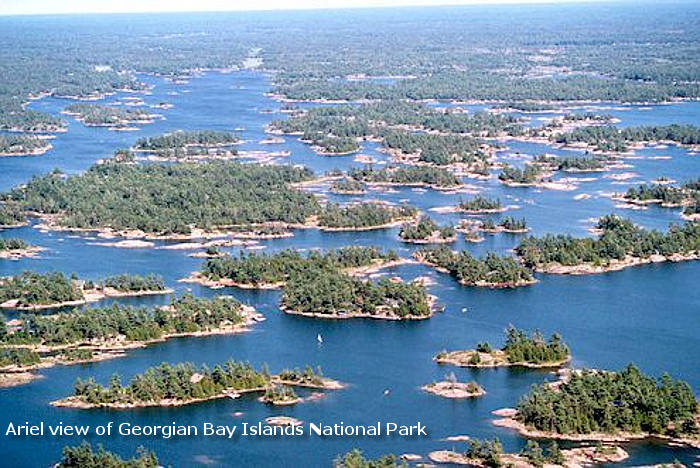
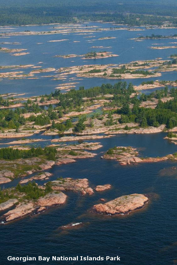
Other North Channel and Georgian Bay Pictures